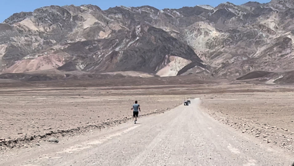
Right Off the Highway Runs & Hikes
*This is Death Valley NP and is nowhere near a highway
Ohio
I-70

Blackhand Gorge State Nature Preserve, Zanesville Exits, located in Toboso, OH.
No fee. I admit this is more than fifteen minutes off the highway, probably closer to twenty-five minutes. Main trail is a rail trail, paved, I believe it is eight miles out and back, but I only did 2.5 out. Very pretty river. Several other trails that shoot off the rail trail, some are complicated with steps and wire railings to hold onto while going up and down. I think it is an old quarry so there are interesting little ponds. I passed signs for Dillon State Park on the way to Blackhand but didn’t stop. I don’t know if it is closer, or the trail situation.
No link to trail map


Charleston Falls Preserve, Exit 36, North of Dayton, 2535 Ross Rd, Tipp City
I think it is free, 8AM-Sunset, User Submitted, 3 miles of trails.
I-74
Mt. Airy Forest, Exit 18, Cincinnati,
User Submitted. User says: "Exit 14, Exit 17, or Exit 18 depending on which trail you’d like to start from. Main entrance on Colerain Ave. Exit 18."
Free I think, 6Am-10PM. Bikes and pets welcome, picnic areas, playground. From there website: "Located between Mt. Airy and Westwood, Mt. Airy Forest is the largest Cincinnati Park at 1,459 acres. A man-made forest with miles of hiking trails, several picnic areas, a disc golf course, and a multi-use mountain biking trail. Mt. Airy also has Ohio’s only wheelchair accessible public treehouse, a beautiful arboretum, and an enclosed dog park."
I-75
Brukner Nature Center, Exit 73, North of Dayton, 10ish minutes off highway
$2.50 a person, $10 a family, no pets allowed
User Submitted. 6 miles of trails. I'm guessing no bikes.
Mt. Airy Forest, Exit 4 onto I-74 W, Cincinnati, Exit 18 off I-74
User Submitted. User says it is off I-74, and it is, but it doesn't look too far off I-75
Free I think, 6Am-10PM. Bikes and pets welcome, picnic areas, playground. From there website: "Located between Mt. Airy and Westwood, Mt. Airy Forest is the largest Cincinnati Park at 1,459 acres. A man-made forest with miles of hiking trails, several picnic areas, a disc golf course, and a multi-use mountain biking trail. Mt. Airy also has Ohio’s only wheelchair accessible public treehouse, a beautiful arboretum, and an enclosed dog park."
Rt 33
Hocking Hills, Logan area, various exits
Free, some are just foot, some are bike and horse
There are a bunch of trails in this area. We did four of them, each at a different location, all within 15 minutes of each other.
Hocking Hills St Park is right on the edge of 15 minutes off the road. With traffic it will be more.
Old Man Cave Trail at Hocking Hills is stunning, but on a busy day would be miserable, unless you like crowds, and you are not going to go fast. We did 1.3 miles.
Rock House Cave Trail has some great natural features. Lots of uphill at the end. 1.2 miles.
Cantwell Cliffs is pretty as well. There are many, many steps, most are steep. Technical. 2.5 miles.
Rockbridge Bridge is 3 minutes off 33 and is very cool once you get to it, think Middle Earth or Indiana Jones. The rest of trail is just walking in the woods, but great if you are just looking to get a few miles in right off the road. 2 miles.

Cantwell Stairs

More Cantwell
Stairs

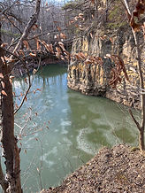
Rockbridge

Rockbridge

Old Man

Rock House