Right Off the Highway Runs & Hikes
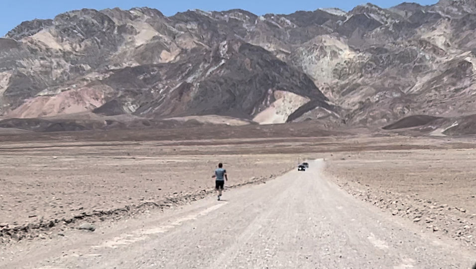
*This is Death Valley NP and is nowhere near a highway
Virginia
I-64
Jerry's Branch, Exit 1 , near the West Virginia border
No fee. This is maybe five minutes off the road. It's part of the Allegheny Trail, so you can go as far as you want. We did about 1 1/2 miles out. Trail was mostly flat, no major stream crossings. We didn't have any trouble finding it after getting off the highway. There's not much else there. Sorry there's not much of a link.

Trail is at the end of this road

Humpback Rocks, Exit 99, Rt 250/Blue Ridge Parkway exit, near 64/81 interchange, 6 minutes off highway
Free, User Submitted. It looks like there are several miles of trail you can access in the first several miles of the Blue Ridge Parkway, including the Appalachian Trail.
Trail Map is at the bottom of the linked page above
I-77

New River Trail St. Park, Exit 24, Shot Tower, five minutes off the interstate.
$7 (which is crazy amount if you don't have any ones!) if you park in Shot Tower St, Park, but if you pass the entrance and go toward the river there seems to be a free parking area. We parked there and didn't get a ticket, but we weren't there long. Rail trail, gravel, hiking, jogging, biking, and horses if you have them. The trail is 57 miles long so can go as far as you want. We went about .75 miles up river, .5 down river. My app said we gained 0 feet in elevation, my wife's said 7 feet. So it's pretty flat. If you turn toward the Historic Foster Falls part of the park, there MAY be free parking. There is a playground, trail access, bathrooms, picnic tables and history stuff, so nice if you have the family. There are at least two gas stations.


Free Parking?
This is how close to the interstate it is.
I-81
Virginia Creeper Trail, Appalachian Trail & others, Exit 29, Damascus
It's borderline 15 minutes off the highway- it's 13 miles but it's not a fast 13. I think there is easier access to the VA creeper nearby but that part of the trail isn't as pretty. I parked in the Subway parking lot even though not sure that's legal. I went north west and it took about 1.35 miles to get out of town. If you park at the Damascus Visitor Center and go NW you get to the woods much quick. The Appalachian Trail comes through town at the Visitor Center as well. If you go .03 miles west on Water St., the AT goes uphill into the woods. I let it go without me. There is a trail called Beaver Dam or something similar at the Visitor Center as well. VA Creeper is big biking trail.
If you go through Damascus and cross the TN state line you'll come to the Laurel Creek Trail in the Cherokee National Forest not far down the road, but that is more than 15 minutes.
Damascus is a happenin' trail town with restaurants, outfitters, lots of little cabins, gas, and so forth.

